Tonight: Low 52˚
Tonight looks to be mostly cloudy with lows in the lower 50's.
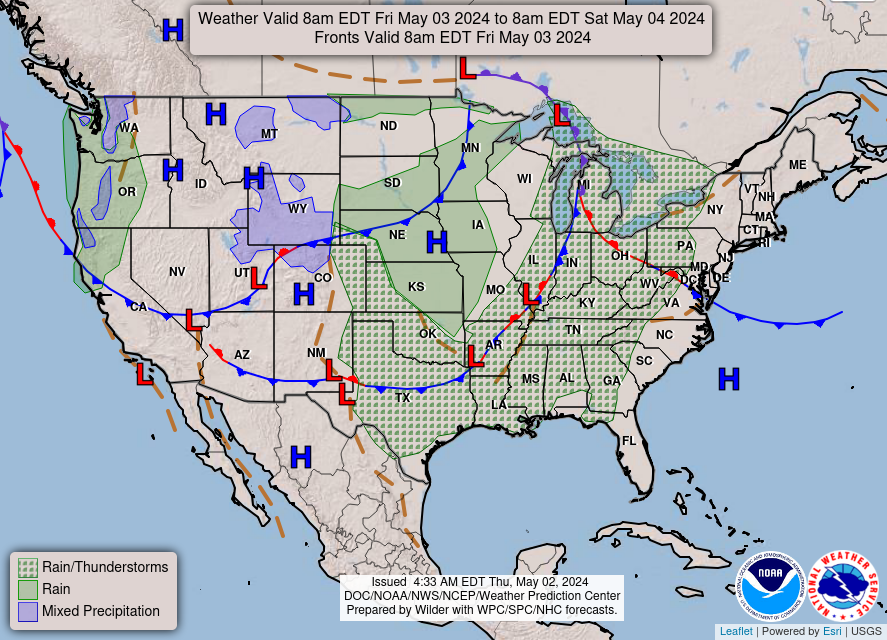
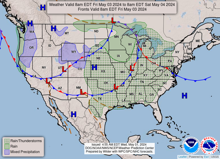
Tomorrow: High 71˚, Low 49˚
For tomorrow, a large, upper-level ridge will position over the eastern U.S. which will cause surface high pressure to move into our area.
Looking ahead:
Tonight
Mostly cloudy, with a low around 50. East wind around 6 mph becoming light and variable after midnight.
Friday
Partly sunny, with a high near 70. Light southeast wind becoming east 5 to 9 mph in the morning.
Friday Night
Partly cloudy, with a low around 48. Southeast wind 3 to 6 mph.
Saturday
Mostly sunny, with a high near 71.
Saturday Night
Mostly clear, with a low around 49.
Sunday
Sunny, with a high near 77.
Sunday Night
Mostly clear, with a low around 50.
Monday
Mostly sunny, with a high near 77.
Monday Night
Partly cloudy, with a low around 53.
Tuesday
A 20 percent chance of showers and thunderstorms. Partly sunny, with a high near 73.
Tuesday Night
Mostly cloudy, with a low around 50.
Wednesday
Mostly sunny, with a high near 72.
No comments:
Post a Comment
Note: Only a member of this blog may post a comment.