General Discussion
Tonight and tomorrow morning are going to be a bit chilly for us here in Warren County. The cold front that moved through last night brought gusty winds, heavy rain, and some thunder and lightning. Unfortunately, it also brought cooler temperatures along with it. The high today measured just at 60 while Sunday's high was around 70.
We'll continue to get a little warmer with our high tomorrow rising to around 65. We will keep mostly sunny and clear skies tonight and tomorrow, so get out and enjoy it!
Wednesday, the highs could reach 75 or above as the high pressure system still keeps hold of the area during the daylight hours.
With these rising temperatures, the threat for thunderstorms returns. Fortunately, there isn't a severe threat as of yet, but we'll keep an eye on that as we get closer.
 |
| Wednesday 4pm Sfc Temps NAM (COD) |
With these rising temperatures, the threat for thunderstorms returns. Fortunately, there isn't a severe threat as of yet, but we'll keep an eye on that as we get closer.
Later On
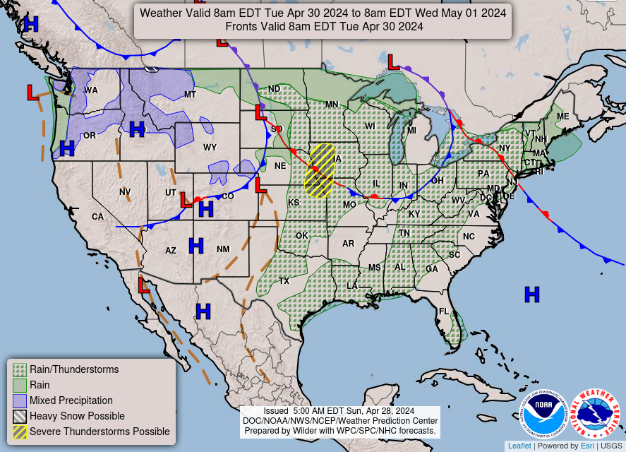 |
| National Forecast Chart Day 3 (Wednesday) (NOAA, NWS) |
Unfortunately, we will see a cool down again Thursday into Friday as the next cold front moves through bringing rain and cooler temperatures. Expect some rain Wednesday evening through Thursday night with clearing on Friday. As always, we'll update as the week progresses and we get more information.
A Glimpse at this Week
Tonight: Mostly clear, with a low around 36. Light north wind.
Tuesday: Sunny, with a high near 64. Calm wind becoming northeast 5 to 9 mph in the morning.
Tuesday Night: Mostly clear, with a low around 42. East wind 3 to 6 mph.
Wednesday: A 30 percent chance of showers and thunderstorms after 1pm. Increasing clouds, with a high near 75. South wind 5 to 15 mph.
Wednesday Night: Showers and thunderstorms before 1am, then showers and possibly a thunderstorm after 1am. Low around 59. South wind 11 to 17 mph. Chance of precipitation is 90%. New rainfall amounts between three quarters and one inch possible.
Thursday: Showers likely and possibly a thunderstorm. Mostly cloudy, with a high near 75. Chance of precipitation is 70%. New rainfall amounts between a quarter and half of an inch possible.
Thursday Night: A 30 percent chance of showers. Mostly cloudy, with a low around 46.
Friday: Mostly sunny, with a high near 65.
Friday Night: Partly cloudy, with a low around 39.
Saturday: Sunny, with a high near 59.
Saturday Night: Clear, with a low around 39.
Sunday: Sunny, with a high near 63.
Sunday Night: Mostly clear, with a low around 42.
Monday: Sunny, with a high near 67.
Forecaster: Cait French
No comments:
Post a Comment
Note: Only a member of this blog may post a comment.