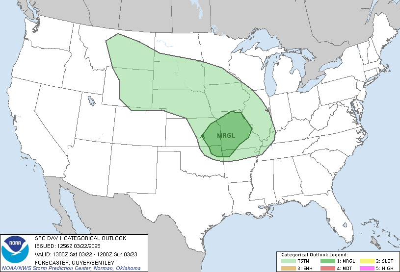
Given that our forecasted high temperatures are in the mid 80s, it's possible for us to reach temperatures that will be conducive to convection. Operational models vary significantly on whether or not any precipitation will fall across the county. Both the NAM and the RUC model show a few hundredths of an inch falling, if any, while the GFS has about a quarter of an inch of rain falling, which would be more in line with the SPC thinking.
Currently, a strong cap is in place. The high CIN values currently observed and those forecasted by the RUC model are expected to deteriorate as daytime heating continues, as shown in the following two images.
 |
| 1400 UTC RUC model CAPE/CIN Forecast |
 |
| SPC Mesoanalysis of current MUCAPE/MUCIN
The HPC, RUC and NAM all keep Warren County dry, while the GFS is much more aggressive with it's precipitation forecast. In lieu of this and the expected scattered coverage of any developing thunderstorms, the Stormtoppers will not be activating today.
Thunderstorms that do develop late this afternoon and evening will pose a threat of small hail.
Lead Forecaster: Jeremy Young
|
No comments:
Post a Comment
Note: Only a member of this blog may post a comment.