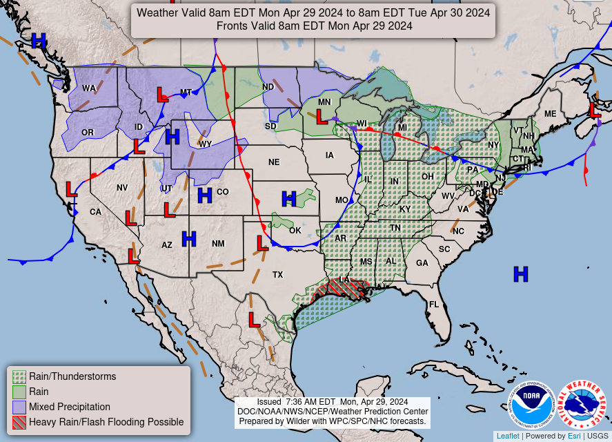
General Discussion: A large area of surface high pressure is currently centered out to our east across the North and South Carolina region. It looks to generally stay anchored out over that region through the end of the work week, then looks to move off to the east as a cold front moves into the region by late week/early weekend accompanied with some showers and possibly a thunderstorm. This area looks to be on the western side of this area of high pressure for the rest of the week, which puts our region in a southerly return flow pattern. This will result in a gradual warm up in temperatures throughout the work week from around 70 today to the upper 70’s by Thursday and Friday. Temperatures then look to cool down to seasonal normal values by the weekend behind this next cold front.
Temperatures have rebounded nicely from the middle 30’s this morning to around 70 this afternoon. Though, such significant diurnal temperature swings are common in very dry air masses, such as the one we are under the control of now.
Tonight: Low- 42
Low temperatures look to be a little bit warmer than they were last night, since that southerly flow has kicked in.
Tomorrow: High-72 Low-45

Tomorrow looks to offer up a basic carbon copy of today temperature and sky cover wise, though may be just a degree or two warmer. All in all, tomorrow looks to be in the low 70’s under mainly sunny skies, making tomorrow a beautiful day to get outside.
Looking Ahead:
Tonight
Clear, with a low around 42. South wind 3 to 5 mph.
Tuesday
Sunny, with a high near 72. Light south wind increasing to 5 to 9 mph in the morning.
Tuesday Night
Mostly clear, with a low around 44. Light south wind.
Wednesday
Sunny, with a high near 77. South wind 3 to 8 mph.
Wednesday Night
Partly cloudy, with a low around 52. South wind 3 to 5 mph.
Thursday
Mostly sunny, with a high near 78.
Thursday Night
Partly cloudy, with a low around 53.
Friday
Mostly sunny, with a high near 79.
Friday Night
Partly cloudy, with a low around 58.
Saturday
A 40 percent chance of showers and thunderstorms. Mostly cloudy, with a high near 73.
Saturday Night
A 50 percent chance of showers. Mostly cloudy, with a low around 57.
Sunday
A 40 percent chance of showers. Partly sunny, with a high near 66.
Sunday Night
A 30 percent chance of showers. Mostly cloudy, with a low around 49.
Monday
A 30 percent chance of showers. Partly sunny, with a high near 64.
Forecaster: Michael Schulz
No comments:
Post a Comment
Note: Only a member of this blog may post a comment.