Monday Night- Chance for rain increases into the night with light to moderate rainfall expected during the afternoon. Shower as well as a few thunderstorms are possible after midnight. Overnight low of 60° under cloudy skies. Accumulation after midnight between .1"-.25"
Tuesday- 40% chance of rain throughout the morning concentrated before 9AM. Gradual clearing will occur approaching noon. High of 71°. Gusty winds up to 22mph out of the west.
Tuesday Night-Mostly clear skies will allow the temperature to drop to a chilly 41° with a light wind.
Wednesday-Sunny skies with a high of 68°. Light winds out of the north. Clear skies again will bring chilly night time temperatures in the low 40s.
Thursday-Temperatures rise all the way up to 79° under sunny skies. As night falls a slight chance for showers and a thunderstorm or two increase. Chance of rain 60% with a low around 60°.
Discussion
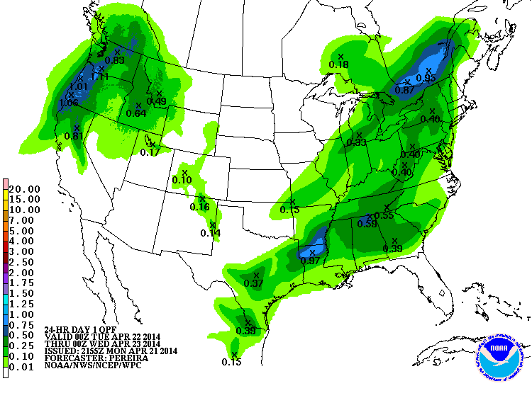
A weak cold front is moving in from the west causing rain for the area tonight and tomorrow morning. This small amount of rain(.1"-.25") will be a good chance to clear the spring air of the abundant pollen. The front will pass through Warren County by mid Tuesday morning, taking away the chance for rain, as well as removing the cloud cover from the area. With the passing of this front, temperatures are expected to fall. The high temperatures for both Tuesday and Wednesday is right at the 70° mark. We will be under clear skies for the next couple of days until the new system makes its way into our area. Thursday's system will bring with it another chance for rain and a possible thunderstorm. Temperatures look to be high to finish out the work week.
Forecaster: John Logan Thomas
No comments:
Post a Comment
Note: Only a member of this blog may post a comment.